





The Data Behind the Fire: A Look Into Our Wildfire Model
Wildfires now result in nearly 6 million more hectares of tree cover loss per year than in 2001, an area the size of Croatia.

Europe's Wildfire Emergency
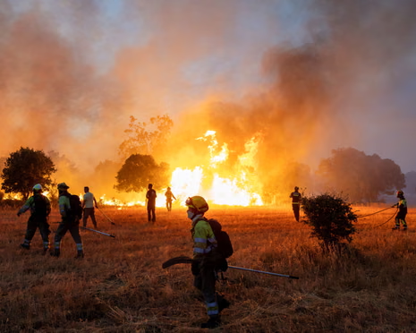
Wildfires are burning across France, Spain and Greece this July, with more than 15 lives lost, over 300,000 people evacuated, and 250,000+ hectares burned across the EU so far this year — including France's largest peacetime evacuation since 1945. From Almería's deadliest Spanish wildfire in two decades to a pyrocumulonimbus event recorded for the first time in southwest France, we break down where the fires are burning, why this season turned so severe, and what the industry is watching.

| Gironde, France | Pyrocumulonimbus | biggest evacuation since 1945 |
| Madrid region | One of Spain's largest recorded wildfires |
| Aude / Hérault | Early-July fires |
| Almería | 13+ lives lost | deadliest in ~20 yrs |
| Central Greece | 2 lives lost |
At least 13 people killed near Los Gallardos. The deadliest Spanish wildfire in around 20 years.
France's largest peacetime evacuation since 1945. About 116,000 hectares burned in France this year.
Two lives lost, with evacuations still ongoing.
A fire hot enough to build its own thunderstorm. The rising column pulls in air from every side, so the fire generates its own shifting winds. If the cloud towers high enough, it makes its own lightning too.
The wind it creates is unpredictable, so crews cannot tell which way the fire will run.
Recorded in southwest France for the first time. Until now, seen mainly in Australia and North America.
The season swung from one extreme to the other. A wet winter, one of France and Spain's wettest on record, grew thick grass and brush. A record-hot, rain-starved spring then cured all of it into fuel.
Climate scientists call this rapid wet-to-dry swing hydroclimate whiplash.
June 2026 was Western Europe's hottest June on record, about 3°C above average. Winds up to 70 km/h then drove the spread.
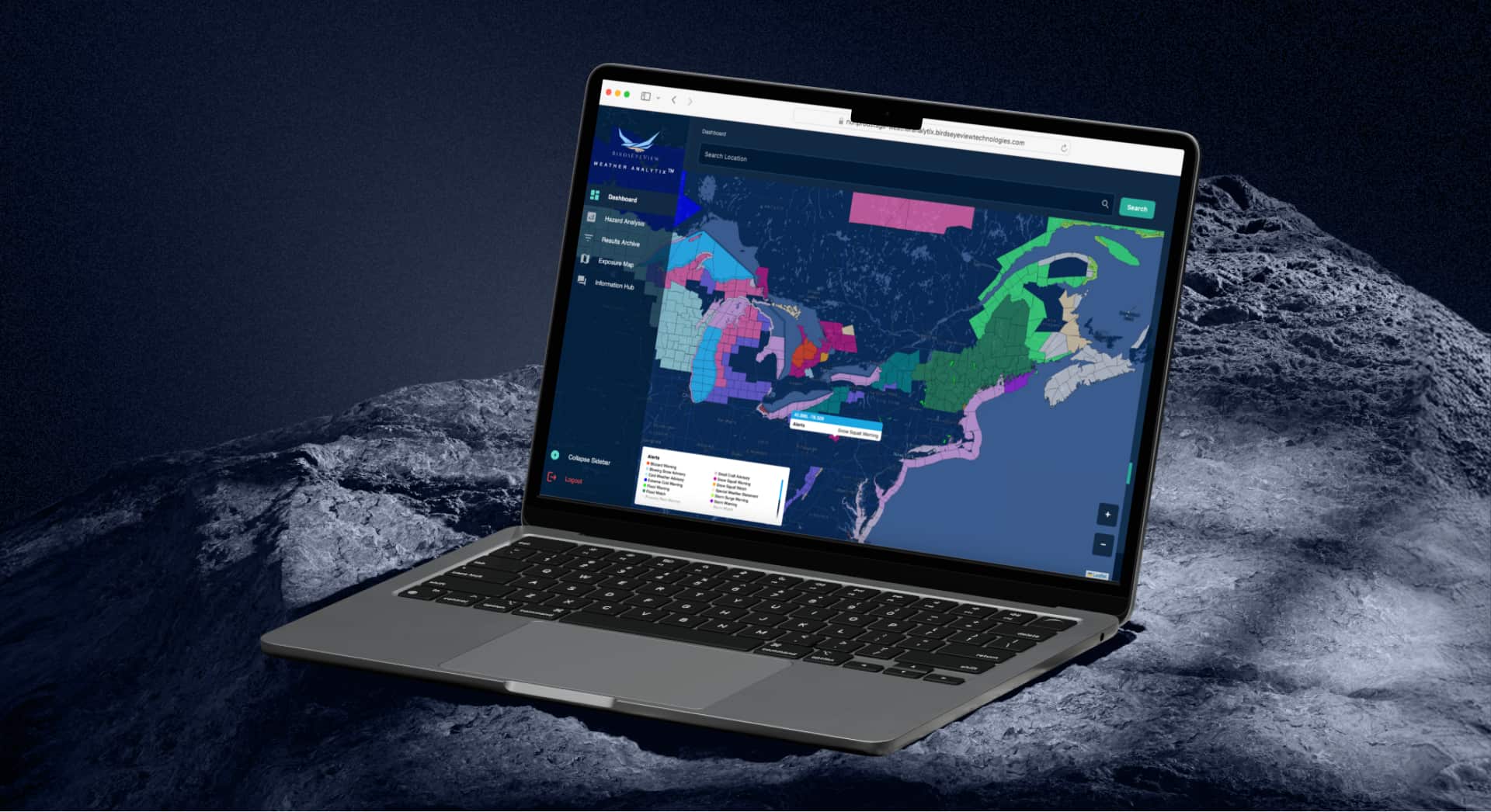
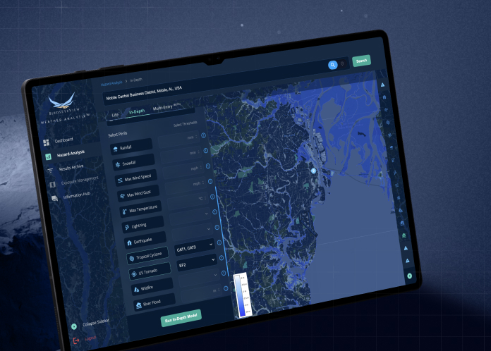
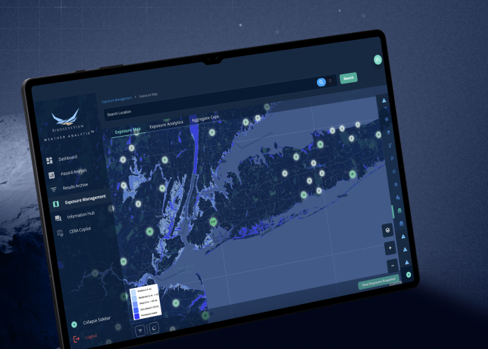
We monitor these events because understanding how they behave is how the industry prepares for them.
Our thoughts are with the communities affected and the crews still fighting these fires.

The Data Behind the Fire: A Look Into Our Wildfire Model
Wildfires now result in nearly 6 million more hectares of tree cover loss per year than in 2001, an area the size of Croatia.
.webp)
Introducing AI Data Scrubbing: Streamlining Exposure Data for Faster Hazard Modelling
Exposure data sits at the heart of effective catastrophe and hazard modelling.

BirdsEyeView Secures Seven-Figure Investment to Accelerate Global Expansion
BirdsEyeView, the European Space Agency-backed insurtech specializing in natural catastrophe modelling and exposure management, has secured an undisclosed seven-figure investment to support the company’s continued international growth and ongoing product development.
Have questions about CERA®, integrations, pricing, or use cases for your organization? Our specialists can walk you through the platform and recommend the right solution.

Get a concise overview of our hazard models, exposure analytics, live alerting, and platform capabilities. Perfect for sharing with underwriting, portfolio, and catastrophe teams.