
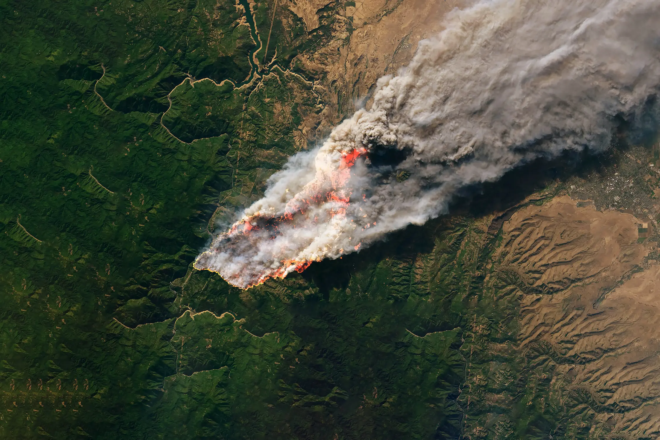
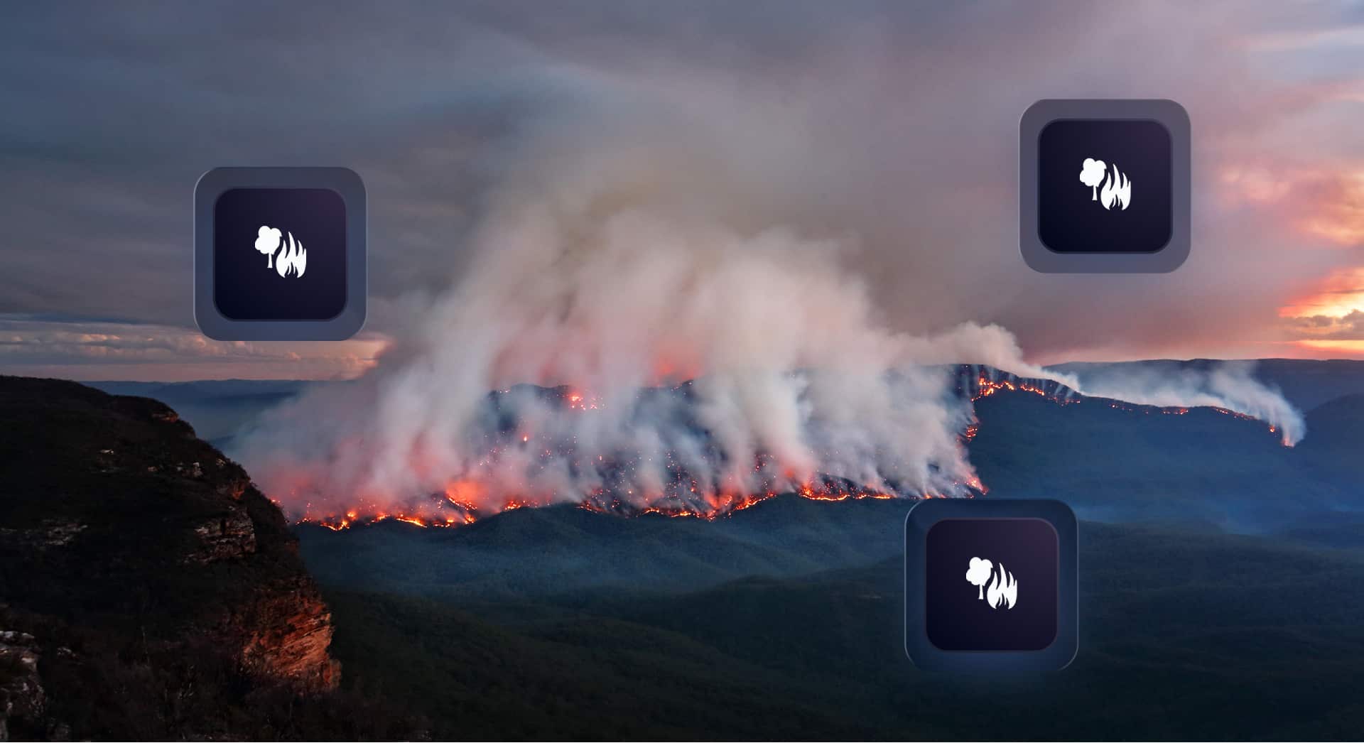
The Data Behind the Fire: A Look Into Our Wildfire Model
Wildfires now result in nearly 6 million more hectares of tree cover loss per year than in 2001, an area the size of Croatia.
Feb 19, 2026

BirdEyeView enables MGA’s, brokers and carriers to make reliable, data-driven decisions, when quoting risk, pricing, managing portfolios, and reporting internally.
Used daily across Delegated Property, D&F Property, Construction, Energy & Renewables, Livestock, and Contingency, underwriting and broking teams worldwide.


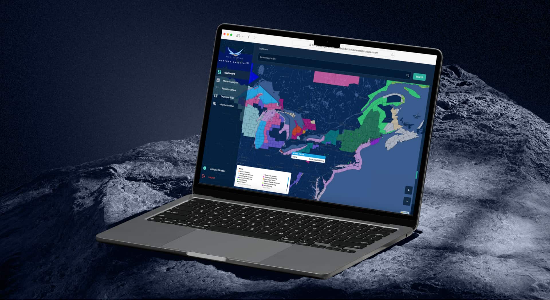
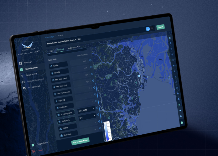
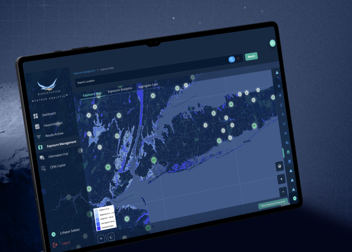
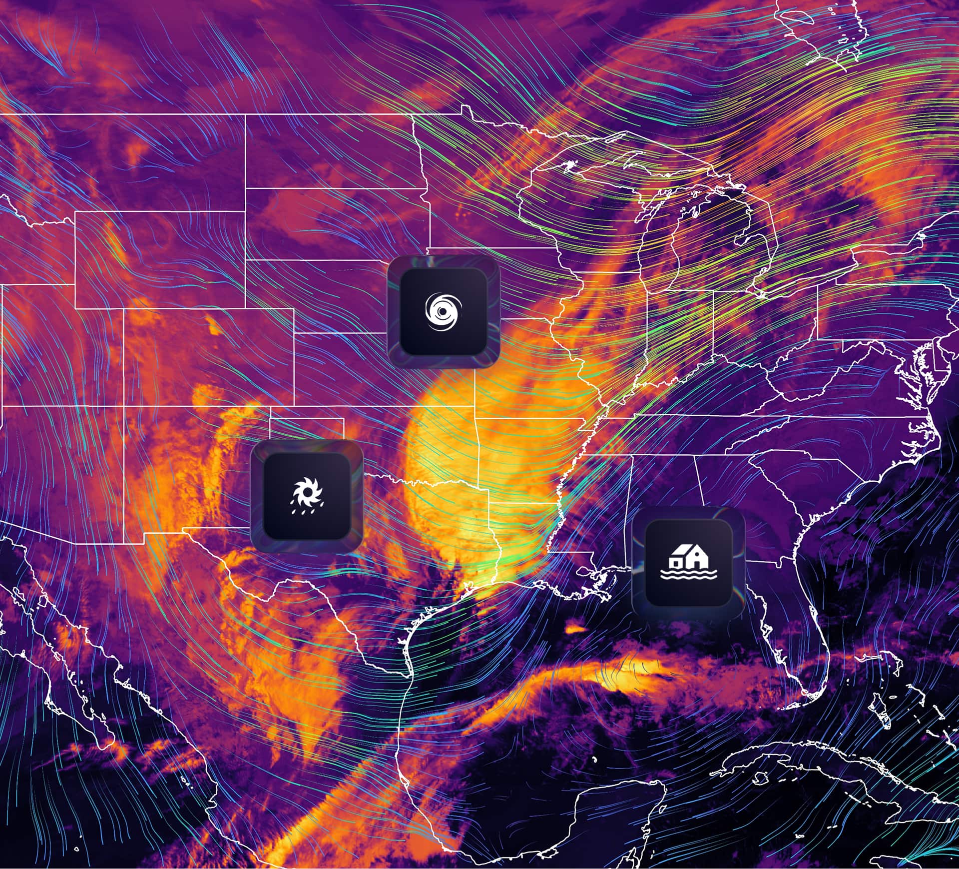
We build tools that help the insurance market make faster, more confident decisions, when quoting and pricing risks exposed to primary and secondary perils.
Our mission is to bring scientific rigour and operational simplicity together in one package.
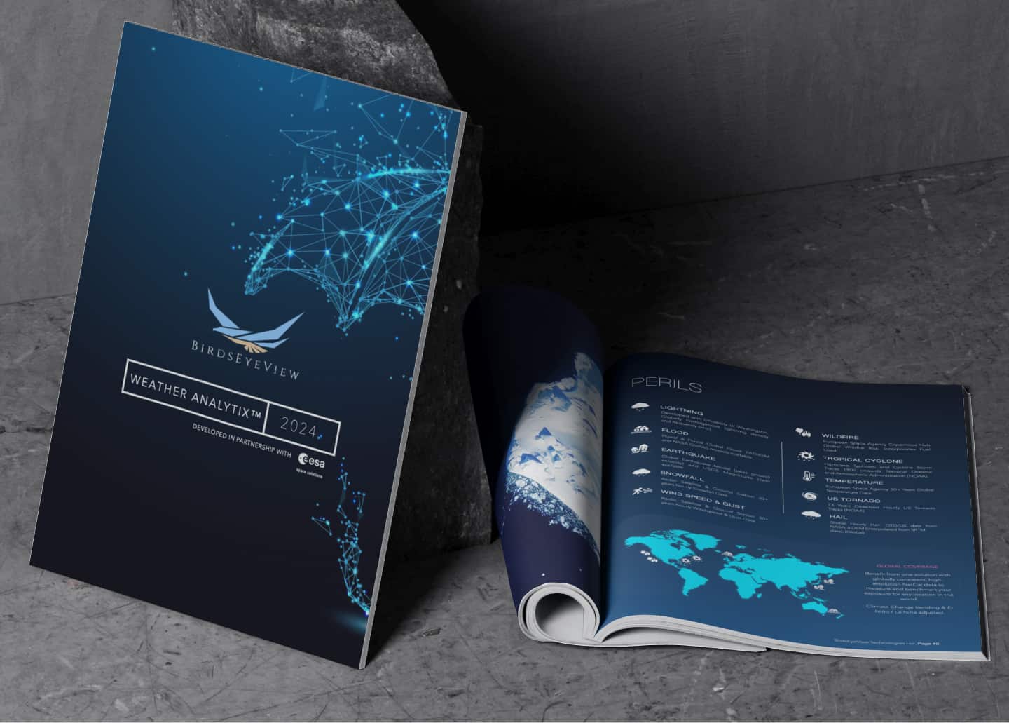
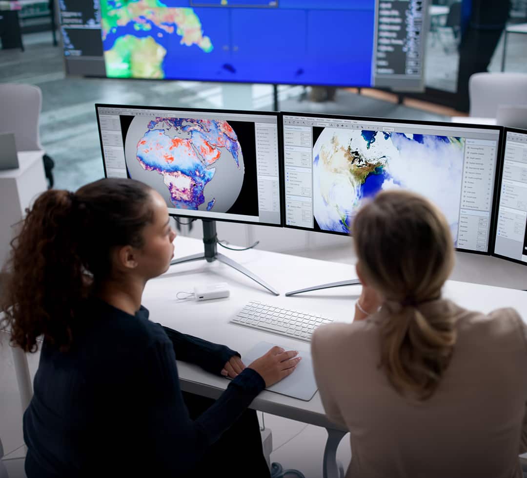
Born out of a partnership with the European Space Agency, BirdsEyeView began with a simple belief: underwriters should be able to conduct scientifically rigorous hazard modelling, at their desk, at point of underwriting.
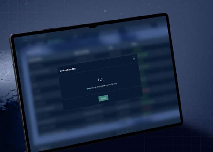
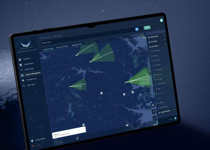
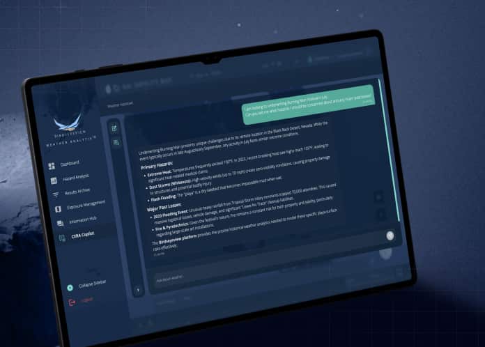
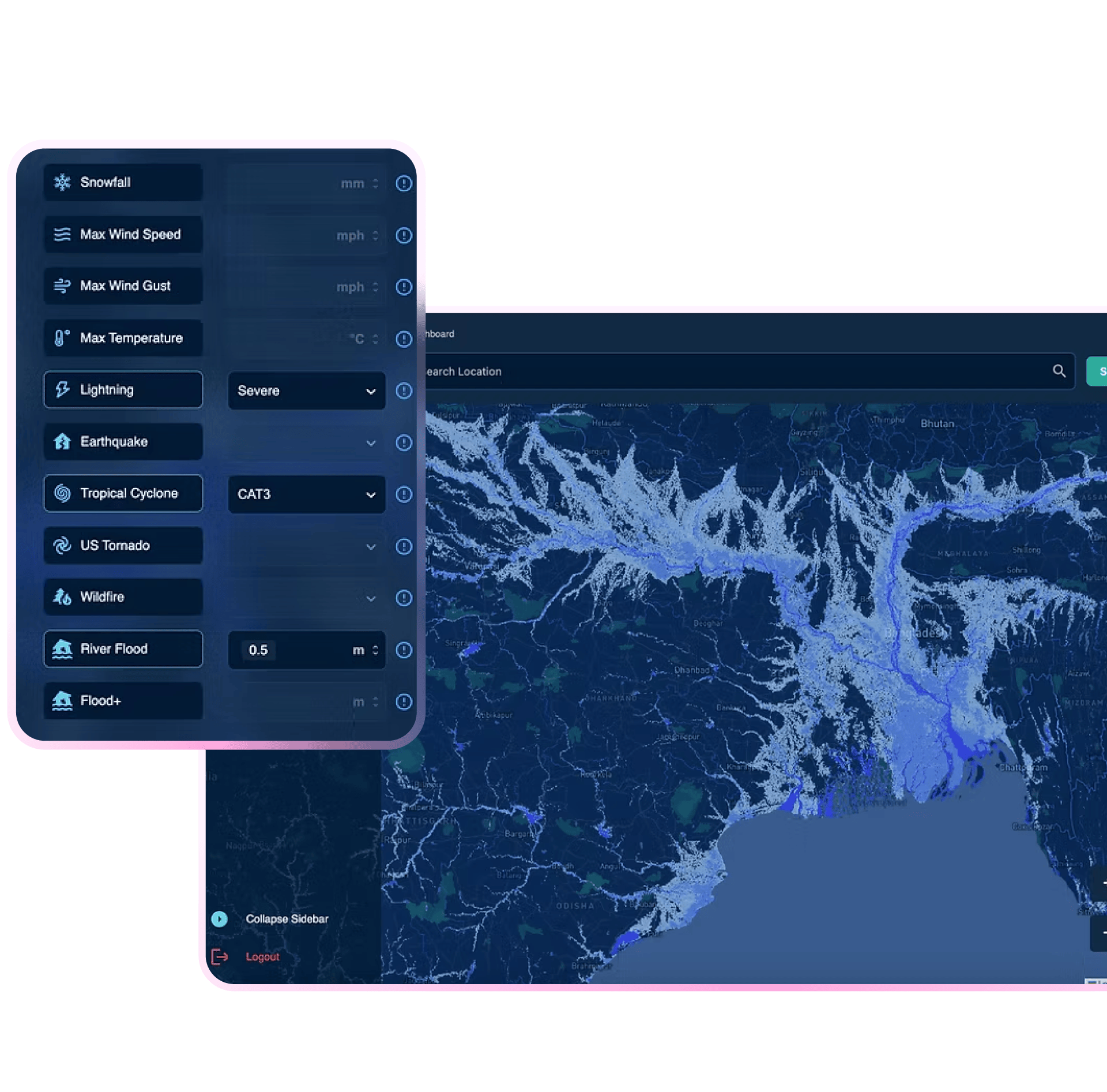
To overcome complex, expensive, fragmented legacy tools, we developed CERA® an AI powered tool designed for real-world insurance workflows. It delivers submission data cleaning, reliable catastrophe insights and portfolio modelling, at the point of decision-making.
Our team of PhD’s and climate scientists work with the latest in satellite imagery, climate datasets, and machine learning techniques to build models and tools that bring speed and precision to any underwriting or broking process.
AI to clean and model submitted risk data in minutes, not days.
User-friendly visualisations and underwriter-focused outputs.
Models running on over 2bn climate data points using the latest in machine learning.
Trusted by headline carriers, brokers and MGA’s worldwide.

BirdsEyeView Secures Seven-Figure Investment to Accelerate Global Expansion
BirdsEyeView, the European Space Agency-backed insurtech specializing in natural catastrophe modelling and exposure management, has secured an undisclosed seven-figure investment to support the company’s continued international growth and ongoing product development.
Have questions about CERA®, integrations, pricing, or use cases for your organization? Our specialists can walk you through the platform and recommend the right solution.
.webp)