


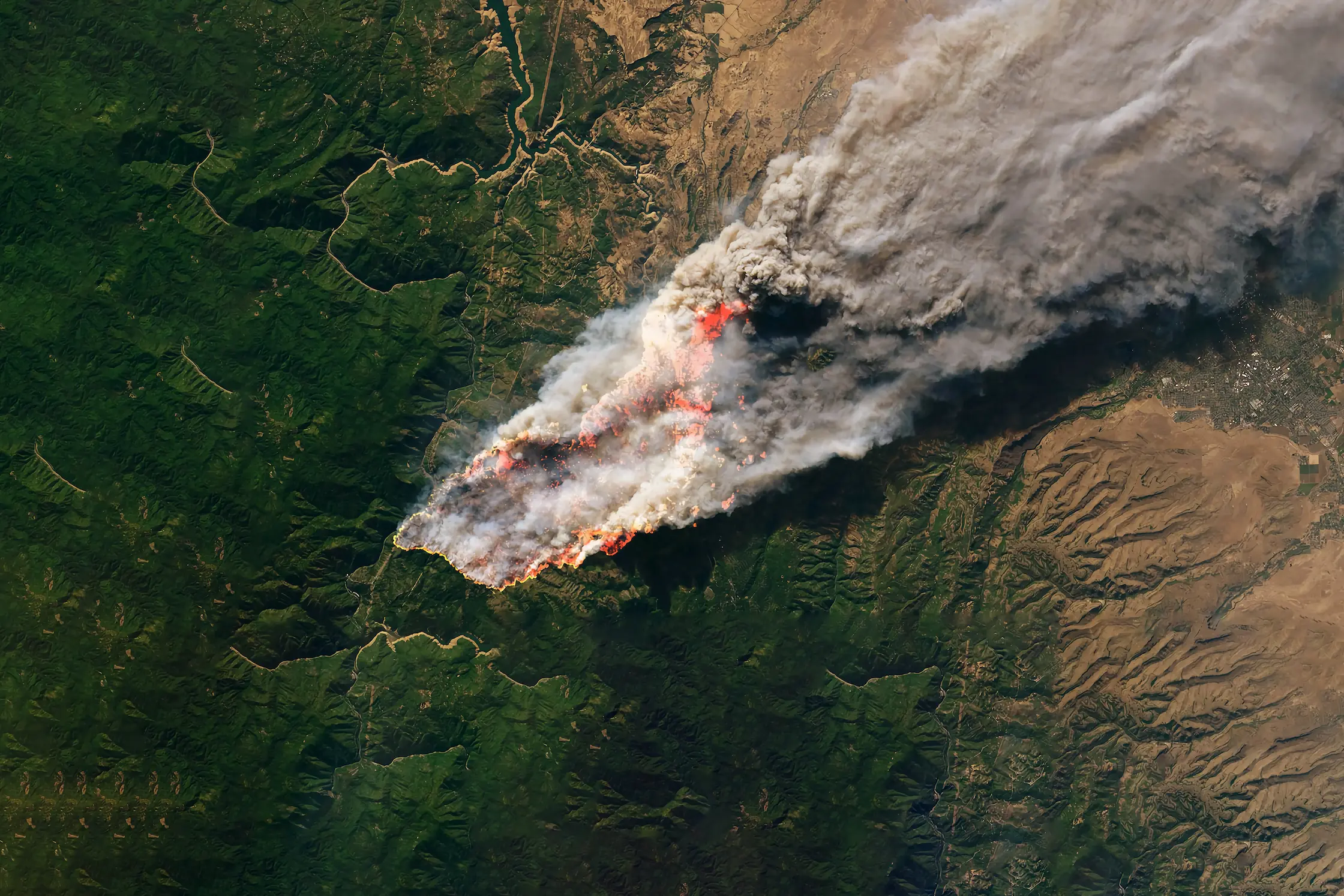
The Data Behind the Fire: A Look Into Our Wildfire Model
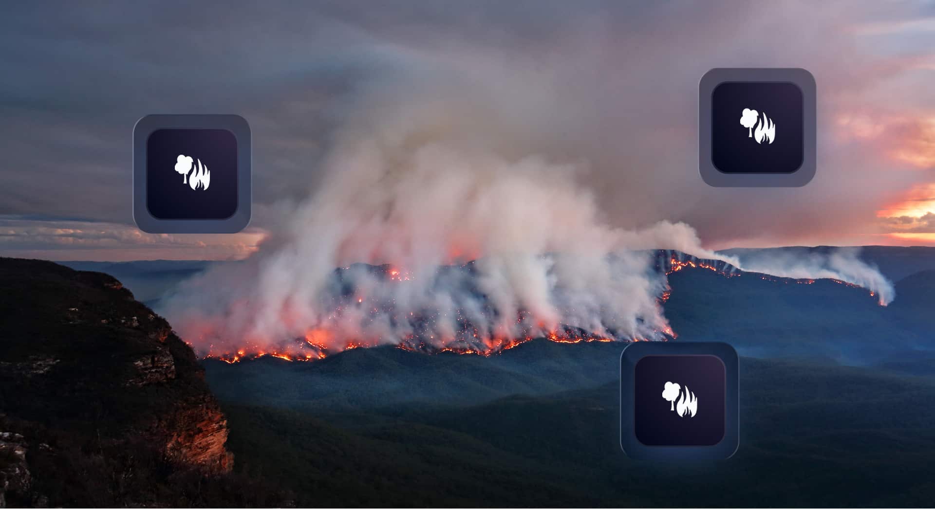
Wildfires now result in nearly 6 million more hectares of tree cover loss per year than in 2001, an area the size of Croatia.
Feb 19, 2026
Bridging Research and Risk Modelling: Guest Lecture at Imperial College London
This week, we were proud to see our colleague Dr Ricky Nathvani, Senior Geospatial Data Scientist at BirdsEyeView, return to the academic classroom as a guest lecturer at Imperial College London.
This week, we were proud to see our colleague Dr Ricky Nathvani, Senior Geospatial Data Scientist at BirdsEyeView, return to the academic classroom as a guest lecturer at Imperial College London.
Dr Ricky Nathvani’s visit provided an opportunity to share how modern geospatial science and remote sensing techniques are being applied to quantify environmental exposure and risk—an area that is becoming increasingly important for insurers and risk professionals navigating a changing climate.
From Theoretical Physics to Applied Geospatial Science
Dr Ricky Nathvani’s academic background reflects a strong foundation in scientific research. He holds a Master’s degree in Physics from University of Oxford and a PhD in Theoretical Particle Physics from University College London.
Alongside his role at BirdsEyeView, Dr Ricky Nathvani also serves as an Honorary Research Fellow in Machine Learning and Data Science at Imperial College London. His guest lecture therefore marked a fitting return to the institution, allowing him to share insights from both his research and industry work with current students.
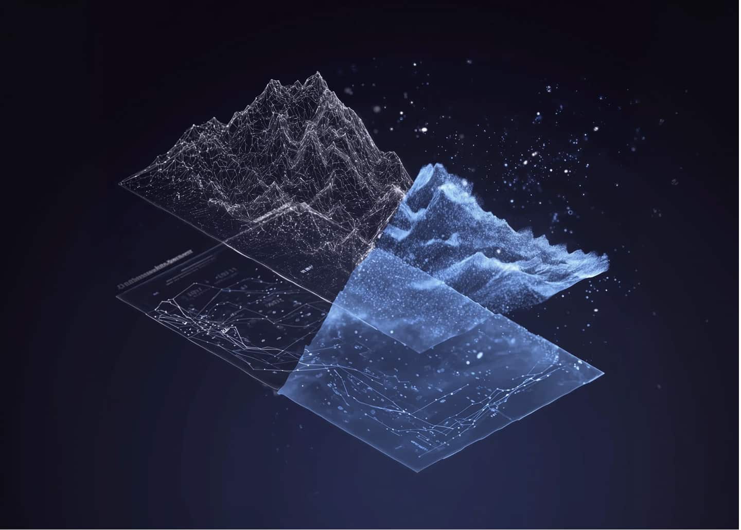
Satellite Imagery for Environmental Exposure Measurement
The lecture, titled “Satellite Imagery for Environmental Exposure Measurement,” explored how satellite data and advanced geospatial analytics can be used to measure and analyse real-world environmental exposure.
Remote sensing technologies are enabling new ways to monitor landscapes, identify patterns of environmental change, and quantify risks that may affect insured assets. By combining satellite imagery with machine learning and geospatial data science, researchers and practitioners can develop more detailed and scalable approaches to understanding environmental hazards.
For students studying machine learning and data science, the session highlighted how these techniques are increasingly being applied beyond academic research and into practical, real-world applications.
From Research to Real-World Risk Intelligence
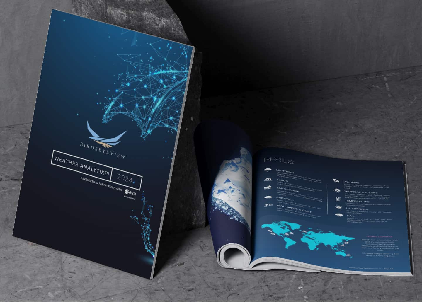
Much of the work discussed in the lecture directly underpins BirdsEyeView’s recently released Australian Bushfire and US & Canadian Wildfire models. These models use advanced geospatial analysis and environmental data to support the assessment of wildfire risk across multiple regions.
The lecture therefore served as a practical example of how cutting-edge research can transition into operational tools used by insurers, brokers, and coverholders. By translating scientific insight into modelling frameworks and risk analytics, geospatial data science plays an important role in helping organisations better understand environmental exposure.
Strengthening Modelling Capabilities
At BirdsEyeView, we are fortunate to have Dr Ricky Nathvani’s expertise contributing to the continued development of our modelling and analytics capabilities. His background across physics, machine learning, and geospatial science supports our work in building tools that help the insurance market better understand complex environmental risks.
Engagements like this guest lecture also reflect the value of maintaining strong connections between academia and industry—ensuring that emerging research continues to inform practical solutions for real-world challenges.
If you would like to learn more about our wildfire models or our broader work in climate and exposure analytics, please feel free to reach out via LinkedIn or contact the BirdsEyeView team directly.

BirdsEyeView Secures Seven-Figure Investment to Accelerate Global Expansion
BirdsEyeView, the European Space Agency-backed insurtech specializing in natural catastrophe modelling and exposure management, has secured an undisclosed seven-figure investment to support the company’s continued international growth and ongoing product development.
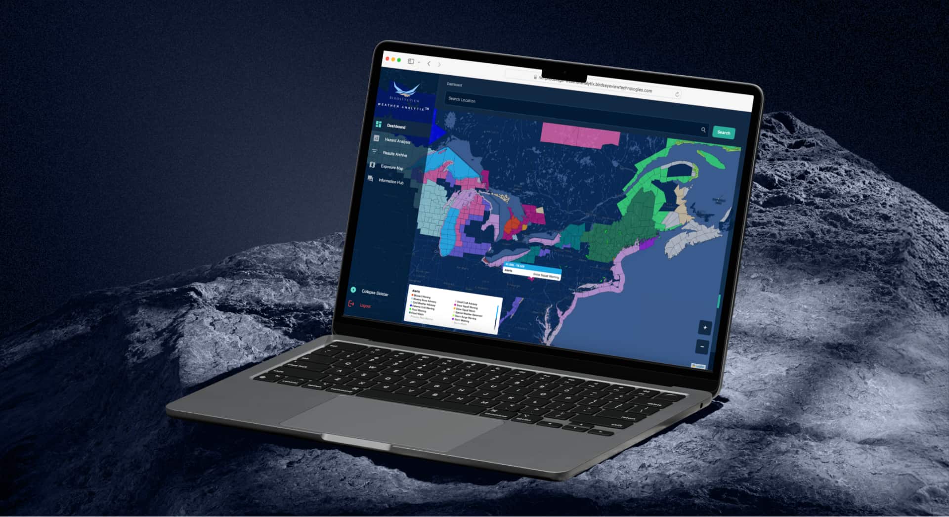
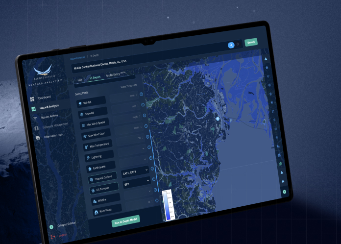
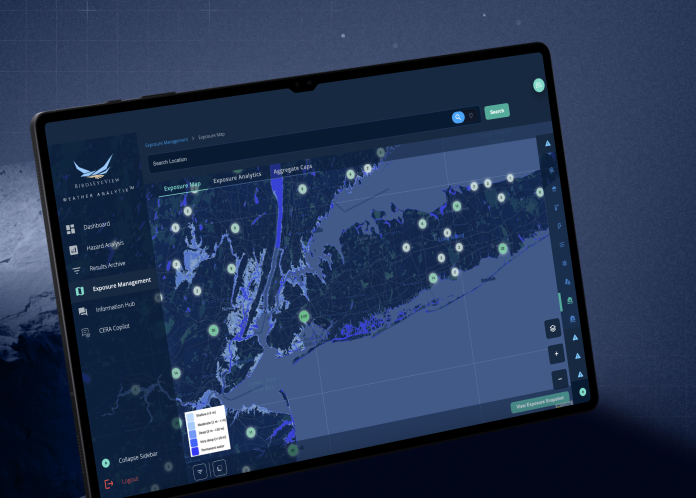
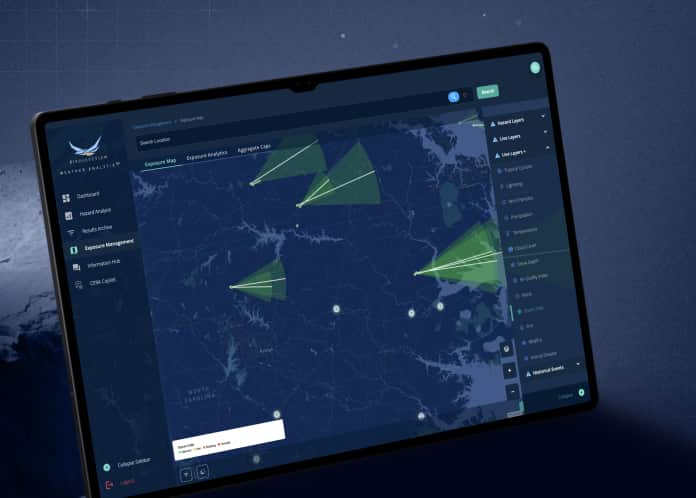
Have questions about CERA®, integrations, pricing, or use cases for your organization? Our specialists can walk you through the platform and recommend the right solution.
.webp)