


The Data Behind the Fire: A Look Into Our Wildfire Model
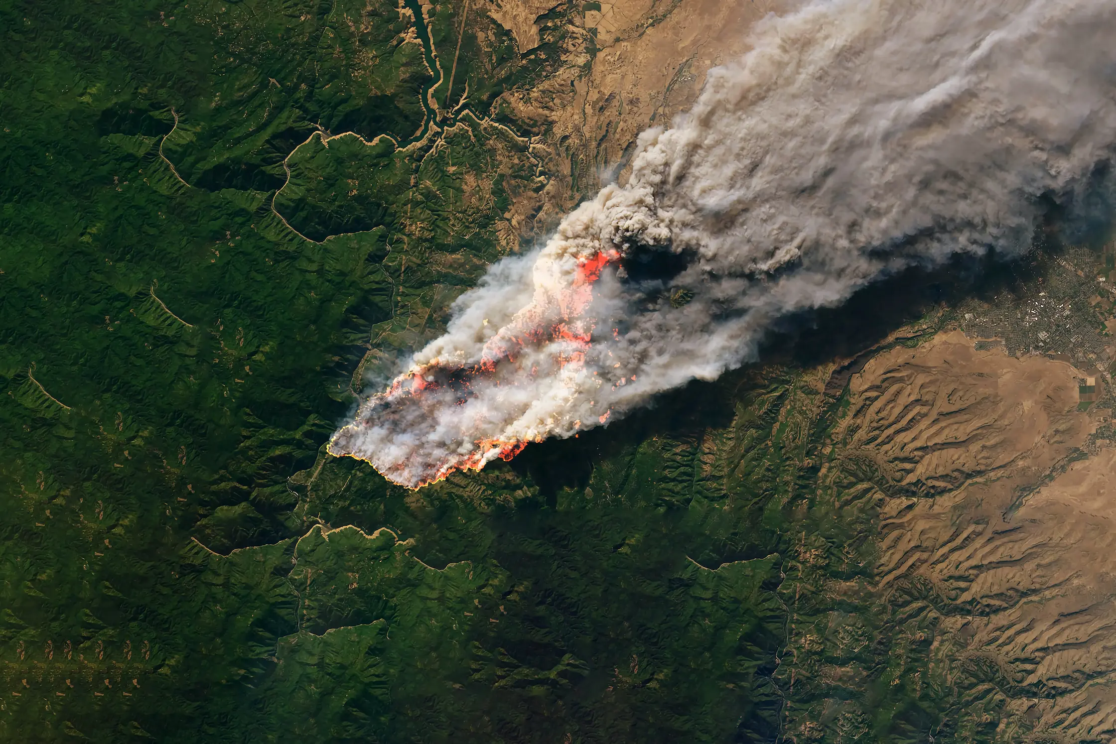
Wildfires now result in nearly 6 million more hectares of tree cover loss per year than in 2001, an area the size of Croatia.
Feb 19, 2026
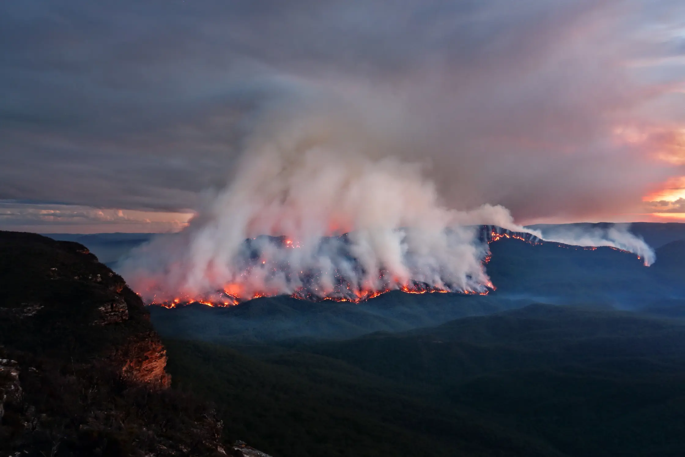
BirdsEyeView Launches Machine Learning Australian Bushfire Model for Insurance Markets
BirdsEyeView has announced that its Machine Learning Australian Bushfire Model is now live and actively being used by Lloyd’s syndicates and Australian MGAs to support risk selection and pricing across Property and Construction portfolios.
BirdsEyeView has announced that its Machine Learning Australian Bushfire Model is now live and actively being used by Lloyd’s syndicates and Australian MGAs to support risk selection and pricing across Property and Construction portfolios.
Developed in partnership with the European Space Agency, the model represents a major step forward in the use of machine learning and satellite data to assess wildfire risk at a highly granular level.
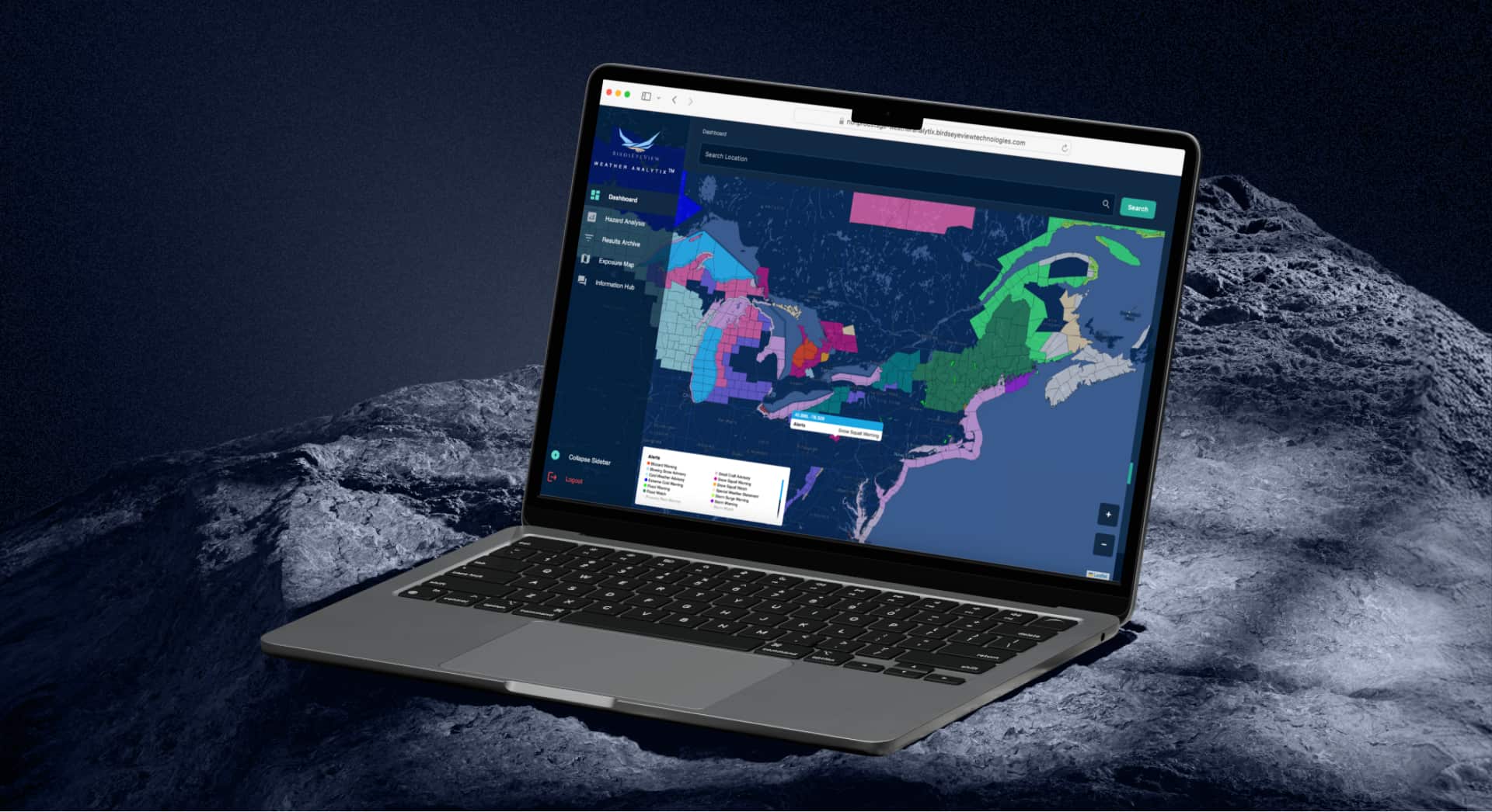
Leveraging Satellite Data and Machine Learning
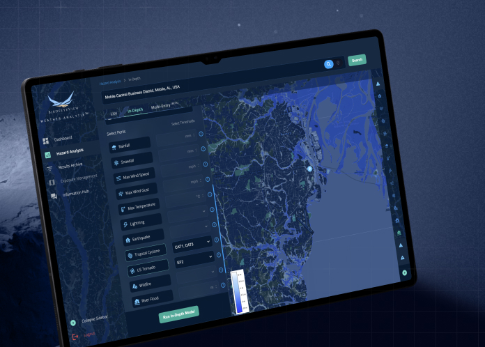
The Australian Bushfire Model has been trained on an extensive dataset, incorporating more than 300 billion data points alongside 7,000 days of satellite imagery. By combining large-scale environmental data with advanced machine learning techniques, the model delivers street-level resolution, enabling insurers to gain more precise insight into bushfire risk at the location level.
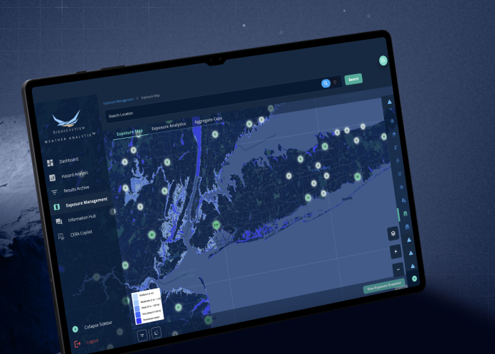
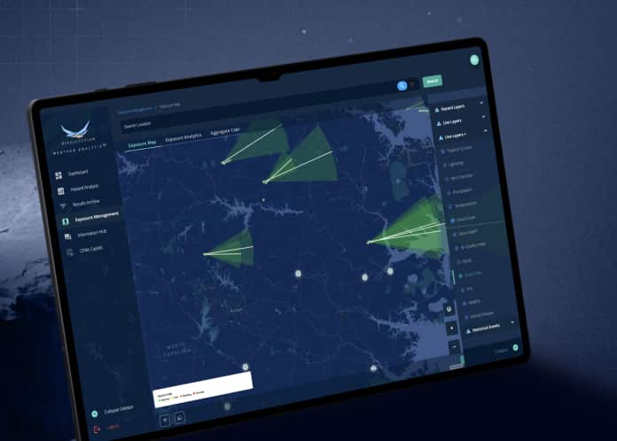
This level of granularity is increasingly important for insurers operating in wildfire-prone regions, where risk can vary significantly even across relatively small geographic areas. The ability to assess exposure at a detailed spatial scale allows underwriters to make more informed decisions when evaluating individual properties and portfolios.

Addressing the Rise of Secondary Perils
Bushfires are increasingly recognised as one of the fastest-growing secondary perils in the global insurance market. Over the past decade, insured losses associated with such events have increased significantly, rising from 1% to approximately 7% of total insured catastrophe losses.
As wildfire behaviour evolves, insurers are seeking models that better capture the complex factors influencing fire ignition and spread. One key limitation of many traditional wildfire models is their limited treatment of ignition sources, which play a critical role in determining where fires begin and how frequently they occur.
Capturing the Role of Ignition Sources
BirdsEyeView’s model addresses this gap by explicitly modelling the interaction between more than 40 ignition sources and the environmental conditions that influence fire behaviour. These sources include natural triggers such as lightning, as well as infrastructure-related factors such as power-line failures.
By incorporating ignition dynamics alongside environmental conditions, the model provides a more comprehensive framework for understanding bushfire risk. This approach helps insurers evaluate not only where fires may spread, but also where they are most likely to start.
Supporting Insurance Market Decision-Making
The model is designed to support underwriting workflows by providing actionable risk insight that can be applied directly to property and construction portfolios. For Lloyd’s syndicates and Australian MGAs already using the platform, the model provides additional analytical depth to inform both risk selection and pricing strategies.
Recognising the Team Behind the Model
The development of the Australian Bushfire Model reflects the work of a multidisciplinary team of scientists and specialists at BirdsEyeView. Their expertise across geospatial data science, machine learning, and environmental risk modelling has helped bring the project from research and development into practical use within the insurance market.
Special thanks go to the team members who played key roles in delivering the model, including Kieran Sam Bajpai, Albert Dow, Ricky Nathvani, and Julian James, whose contributions helped make this release possible.

BirdsEyeView Secures Seven-Figure Investment to Accelerate Global Expansion
BirdsEyeView, the European Space Agency-backed insurtech specializing in natural catastrophe modelling and exposure management, has secured an undisclosed seven-figure investment to support the company’s continued international growth and ongoing product development.
Have questions about CERA®, integrations, pricing, or use cases for your organization? Our specialists can walk you through the platform and recommend the right solution.
.webp)